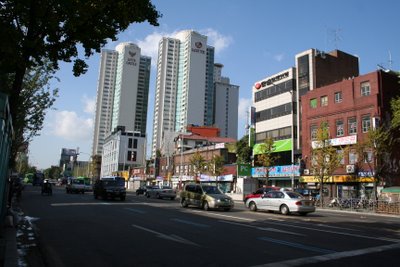
I really like the neighborhood east of Gyeongbok Palace and north of Insadong. I am not certain what it is officially called, but it's full of little shops, Italian restaurants, and art galleries. It draws a very artsy-type crowd on weekends. After wandering around for a while, I gradually realized that there are
no chain stores. A Starbucks would not look out of place, but there isn't even a 7-11 or a Family Mart.

Even the "No-Parking" sign in the lower right is oddly classy.

The Tibet Museum. I don't know what's inside.

A sculpture store.
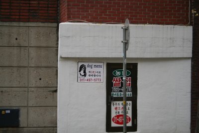
I'm pretty sure that means they have a menu for dogs. But you know Westerners who walk by are going to make fun of it, right?
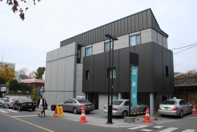
This isn't quite traditional Korean architecture. But there are plenty of buildings like this coexisting with more traditional-looking buildings here.
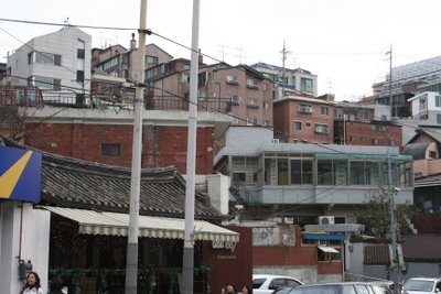
Seoul is a hilly city, and you often see buildings only accessible by side roads that rise steeply up hills.

That said, it may be picturesque, but I'd hate to have to live in a wheelchair in this country.
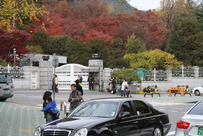
Take a look at that foliage. Something Highly Official is behind that gate (note the armed guard); I'm not sure what it is but the President's official residence is nearby.
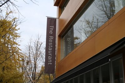
This is The Restaurant. If you're ever in Seoul and you're wondering where the restaurant is, well, here it is.
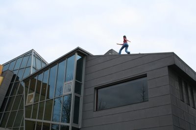
Next door to The Restaurant is this building with what looks like a statue of a woman bowling on the roof. She's either bowling or running - I can't tell. I figure it's a step up from the naked scowling pigman rooftop sculpture I saw in Suwon.
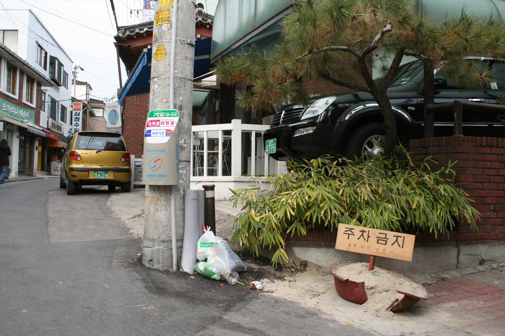 Even the "No-Parking" sign in the lower right is oddly classy.
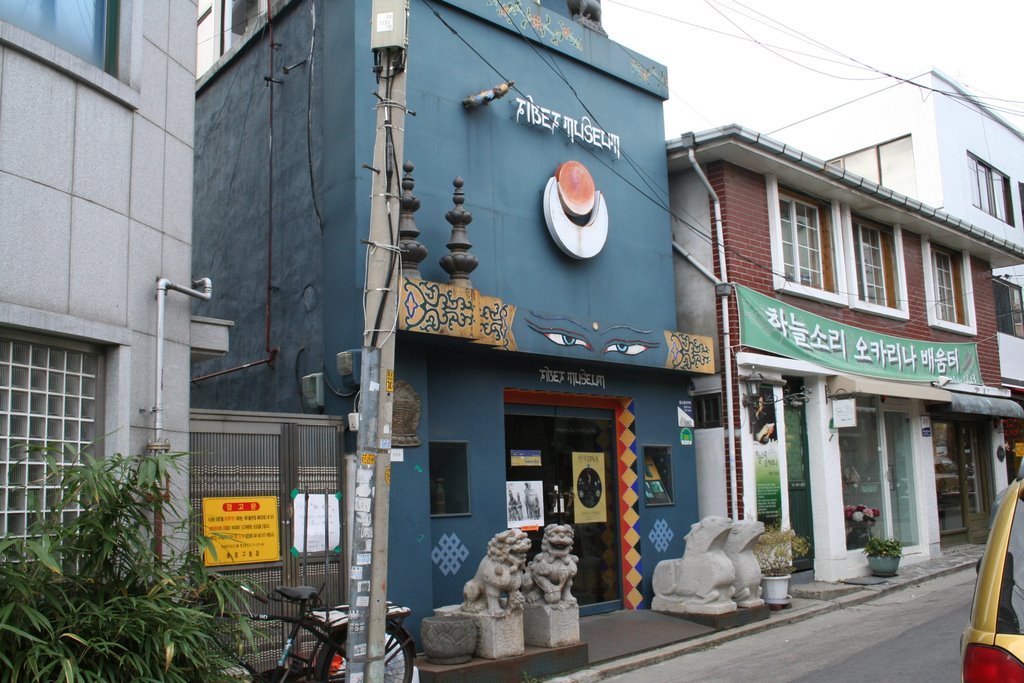 The Tibet Museum. I don't know what's inside.
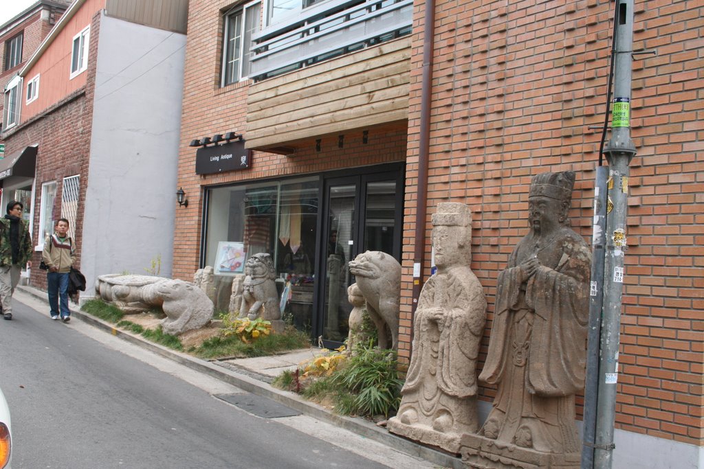 A sculpture store.
 I'm pretty sure that means they have a menu for dogs. But you know Westerners who walk by are going to make fun of it, right?
 This isn't quite traditional Korean architecture. But there are plenty of buildings like this coexisting with more traditional-looking buildings here.
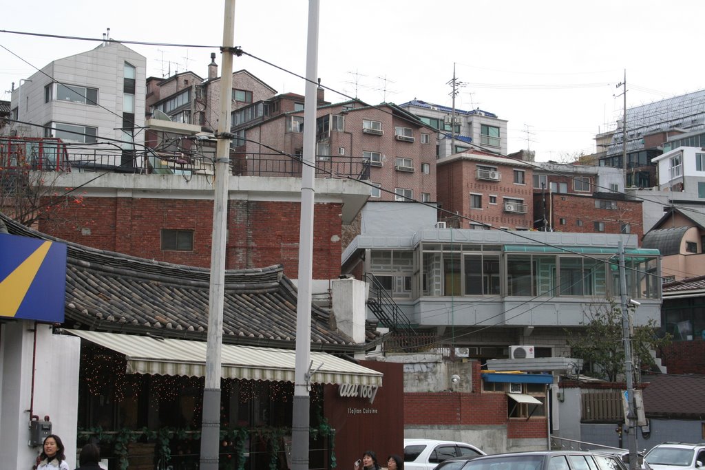 Seoul is a hilly city, and you often see buildings only accessible by side roads that rise steeply up hills.
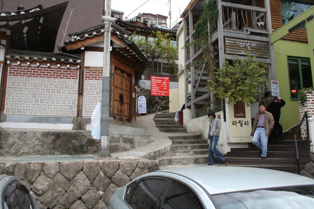 That said, it may be picturesque, but I'd hate to have to live in a wheelchair in this country.
 Take a look at that foliage. Something Highly Official is behind that gate (note the armed guard); I'm not sure what it is but the President's official residence is nearby.
 This is The Restaurant. If you're ever in Seoul and you're wondering where the restaurant is, well, here it is.
 Next door to The Restaurant is this building with what looks like a statue of a woman bowling on the roof. She's either bowling or running - I can't tell. I figure it's a step up from the naked scowling pigman rooftop sculpture I saw in Suwon.
 Look at this wide-angle picture, and compare it to...